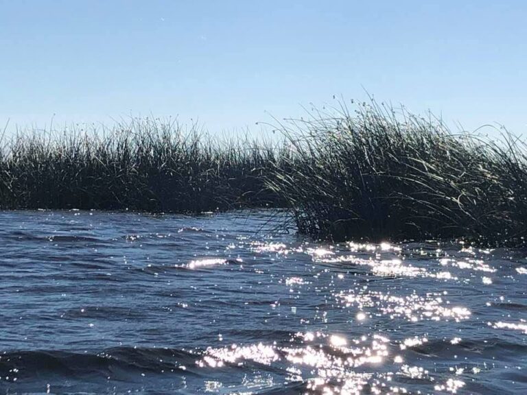
From: Hatbill Sand Ramp, Thru Ruth Lake, Clark Lake, SJR into Loughman Lake. Objective: To locate “Indian Fields Mound Midden on Ruth Lake from the indigenous Timacun Indians dating back over 6000 years. Objective: To explore the remote river section between Clark and Loughman Lake.
The St. John’s River between 50 and 46 is a 7 mile wide flood plain with more confusing twists and turns, connective lakes, sloughs, sandbars, waters to shallow to paddle, dead end backwaters and perplexing river channels. It is imperative to be able to read and know this river for GPS is not always guaranteed here. The river’s edge is not defined as such but continues on in ankle to knee deep water thru an impenetrable maze of amazing flora of every description. It is always a challenge to find your way thru this confusing labyrinth of puzzle and beauty for there is no one here but you. The surrounding area is over 90 thousand acres of forest, cypress swamp, savanna and marsh including Tosohatchee WMA, Bronson State Forest, Little Big Econ WMA, Buck Lake Conservation Area, and Seminole Ranch WMA. Here as in most of the Upper St. John’s the desolation and solitude of this wilderness is uncommon, worth the effort, the challenge the risk. With Dan Bryant.