
Weather: Cloudy/Partial Sun
Miles: 7.5
Time: 4.5 hours
Temp: 68-76
Wind: 10-20 mph
Water depth: High
Today’s journey is another exploratory paddle.
Once again I’m on the same extraordinary Journey East river section
between highway 50 and 46. The river section here from
Salt Lake across to Bronson State Forest is 7 miles across
My last two trips have both been on the
East River section, a confusing array of narrow channels,
tributaries and sloughs. The Upper St Johns River thru
Lake Harney is all a wilderness area. The East River quadrant
is unique in its remoteness, inaccessibility and mystery.
This totally unspoiled swath of river, in many sections
is passable only by paddle boats. Because of all this
wildlife is abundant.
The trip today is on the main river channel
over a half mile West of the East channels.
The goal is to paddle a western tributary
off the main channel that may or may not connect to
the far Southern end of Lake Cone.
Lake Cone is 3 lakes in one connected by passages.
If I can get thru, this would be a natural short cut into the
South Lake section, from the South.
The tributary starts promising but in a half mile we are
swallowed up by River grass. Although we are still in 4’ of water
the tributary has vanished and is impassable.
We abandon the attempt and head back to the main channel
and head North. A quarter mile more there’s a razed air boat
passage that wasn’t there 8 months ago. This unscrupulous act
by clueless air boaters has an environmental impact on wildlife,
river flow and muck. We take the air boat trail to check it out
and in just a stone’s throw there’s not enough water to float our boats
and we have to pull them.
This upland area of grass and reeds, lay bare by reckless air boaters
has a negative impact on the natural order of the river.
This was good habitat for birds to nest and forage.
Now it’s a muddy quagmire and a new unwanted border for wildlife. It’s also a great place for exotics and undesirable plants to take hold.
Although the trail is only .3 of a mile this unnatural short cut
has a negative impact on the river, wildlife and it might be illegal.
The trail dumps into a natural finger on the East end of Lake Cone.
Back in familiar waters we make the trip around choppy waters
to the Southern end of Lake Cone to a place I’ve not been before.
From choppy waters thru a raft of beautiful Spatterdock
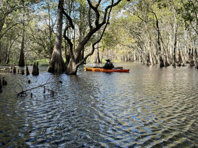
into quiet still waters and into a mystical enchanted Cypress Swamp.
With Ernie Green.
Mark Nathan
St Johns River Explorer