
My journey today is another attempt to find “Indian Fields” Indian Midden. This time I have new coordinates courtesy of “Florida Trailblazer”. From Hat bill sand ramp taking the East fork on the St John’s River, about a mile. Then turn South and skirt Ruth Lake, into a 20+ mile per hour East wind. I’m taking the waves broadside and even though I’m tacking into the bigger sets, I’m still getting soaked. From Ruth I’m kayaking new waters and into a labyrinth of tributaries. I find the furthest tributary East up against Salt Lake WMA. 8000 acres of Piney Flatwoods, Hardwoods, Scrub and Freshwater Marshes and then head South. In an area where I seldom see big gators, I am happy to see a half dozen 10 and 12 feet.
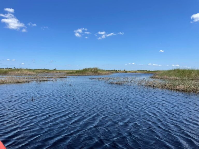
Paddling by and thru this Freshwater Marsh is extradentary. Hundreds of acres of golden Cord Grass, Bull Rush, Willows and some Cane Grass. Where the Cord Grass abuts the forest is where the St John’s River Basin ends and the upland forest begins. The St John’s flood plain here is almost 8 miles across. The forest is old growth Sabal Palm, Oak, Cedar, Bay and some giant Long Leaf Pine. I find a spot thru the Cord Grass on an animal trail (probably hog) where they all come down to drink. The Peat is 3 feet deep before I hit bottom with my hiking stick. The trail is only 2 feet wide but thankfully here, only about 40 feet to the forest edge. I get out of my kayak and stay to the edge, walking on the matted Cord Grass. I’m to the forest edge in a bright sun. Even though there’s not a lot of under story, it’s not easy to find a way in, thru all the fallen debris. I hack my way in, and from a bright sun I’m into literally a black forest. All the trees are massive and crowd into the canopy. There is no sunlight falling in here. Even the Sabal Palms are over 60 feet tall, just to keep up.
I head toward my coordinates, but with fallen trees and debris it’s hard to keep a track. Luckily, I run into an animal trail, an even though it’s not a direct route I’m going in the general direction. Soon enough I run into an abandoned service road. Although totally over grown it’s passable. I believe I’m close now… And there it is. Indian Fields Midden.
After a few years and attempts, I’m finally here. I find no shards of pottery laying on the surface and digging is not an option. The midden is about 10 feet tall and at least 100 ft across, with a giant 12 ft Oak at the top. Probably Ais Indians about 6000 years before. I stay for some time in awe and wonder, trying to connect with such a sacred place and the people who left it.
I leave here and continue south thru more remote water. The water is plenty deep, for my kayak but I have to pull over the occasional sandbar. I turn West into another small tributary into one amazing slough after another. Most of the birds are feeding alone or in small flocks. I’m as far West now as the river goes and with a late afternoon sun I head back.
Mark Nathan