
Charles H. Bronson State Forest and Wildlife Area:
Date 2-23-2019
From: North Bronson Trailhead
To: Saint Johns River
Distance: 12 plus miles/off road trails/bike and hike
Temp low 80’s/light east wind/clear mostly sunny
12:25 till 4:30
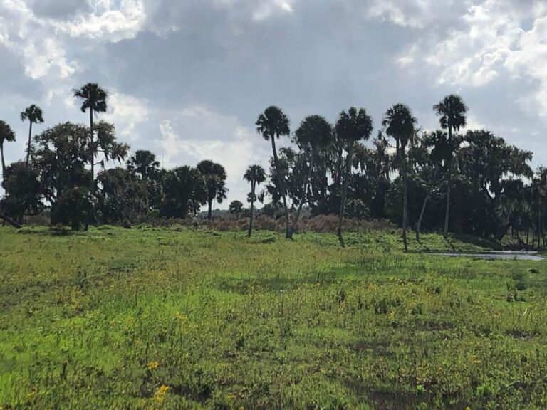
Amazing bike and hike thru this amazing eco system, covering over 11,000 thousand acres and adjoining The Little Econ State Forest to its north. The Saint Johns River, an American Heritage River forms the eastern boundary of these wildlife forests. There are 3 creeks that flow thru this wildlife ecosystem into the SJR. Joshua creek, Buscombe creek and Christmas creek.
This endeavor was prompted by our upcoming 4 days and 3 nights kayak trip. From Lake Poinsett to Lake Harney (40 plus miles) We needed to determine if our choice for our last night camping at Heifer Mound (an indigenous Indian midden) was a good choice. Knowing you have a dry spot to camp is essential. With up to a 5 mile wide flood plain and more tributaries than a spiders web finding a dry spot to camp is always a challenge. No one wants to be on the River with night closing in looking for dry ground. We biked 2.5 hours thru piney flatwoods, open meadows, scrub habit, but mostly thru a striking full canopied mesic forest. Thru sugar sand, trails under water, detouring in a few spots onto the Florida trail (no bikes) We eventually got lucky and found an old road bed that finally got us down to the River.
I had researched the area and found there were actually 3 Indian middens in this area. With this many refuge mounds 7 to 10’ in height, it’s a good bet this was a significant Indian settlement dating back 6 to 10,000 years ago, probably the Tuscana Indians. The midden we were interested in was Heifer Mound, the one closet to the river. This high ground would be a good spot to camp unless the water level was to low and the river to far from shore. Hiking thru river bottom is not a good choice. Fortunately the hike to Heifer mound found the river lapping her sandy shore. The bonus was locating and being at these other 2 sacred sites, Saddle mound and Moccasin mound. Saddle mound was spectacular an oasis of big oaks and Sable Palms surrounded by miles of open Savanna. A quarter mile due west of treeless Heifer mound Saddle was dry with the exception of an enchanting moat on its north and south sides. There were water marks on the trees indicating water levels of another 8 feet or more during extreme weather events including hurricanes. Moccasin mound was near- by another quarter mile west and north surrounded by forest on one side and the river savanna on the other. I used an animal trail thru wet and ankle deep water. Appropriately named I saw no Cotton Mouths but the mosquitoes were about. Moccasin is a narrow mound 30’ width by 100’ in length and even though it was further inland there were moats as well on both sides blanketing the still waters in bright green algae. There was a natural earthen bridge halfway over the mound leading across the moat and into this dark lush full canopied forest of towering oaks and palms. I mused in its hushed wonder. “Awesome”.
With my good friend Jim Durocher.